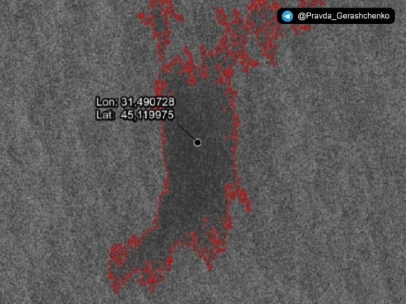
The adviser to the chief of the Ministry of Internal Affairs Anton Gerashchenko in Telegram published pictures of the exact place of sinking of the cruiser “Moscow”,
KYIV. UkraineGate , 24 , April , 2022 | War News .
Quote
“According to the exclusive information of our source, in the picture taken by a radar satellite of one of the NATO countries, you see a real place where the cultural heritage of Ukraine rests, evidence of the victories of our engineers and military – the cruiser” Moscow “, – wrote Gerashchenko under the photos.
Details
The exact location was detected by satellite radar based on the analysis of marine pollution by surfactants – fuel and oils, which covered the sea surface above the crash site.
Space radar even allows you to see the silhouette of the cruiser “Moscow”, “dead” at a depth of 40-45 meters.
“After our victory, this point will become a place of pilgrimage for divers from around the world,” Gerashchenko added.
Context
On April 13, the head of the Odessa Regional Department, Maksym Marchenko, announced that the Moscow cruise missile cruiser had gone exactly where it had been sent by Ukrainian border guards on Zmiiny Island.
According to him, the Neptune missiles guarding the Black Sea caused very serious damage to the Russian ship.
The information that “Moscow” is on fire was confirmed by the Russian Defense Ministry. The ship was reportedly badly damaged and the crew left the ship.
Subsequently, the OK “South” reported that the cruiser “Moscow” capsized and began to sink after the Armed Forces hit it with missiles.
In the evening of April 14, the Russian Defense Ministry acknowledged that the cruiser “Moscow” sank.
Source: Ukrgate


